Planetary
Precision.
Managing thousands of acres at the resolution of a single plant. The end of uniform treatment; the beginning of autonomous stewardship.
Planetary Precision.
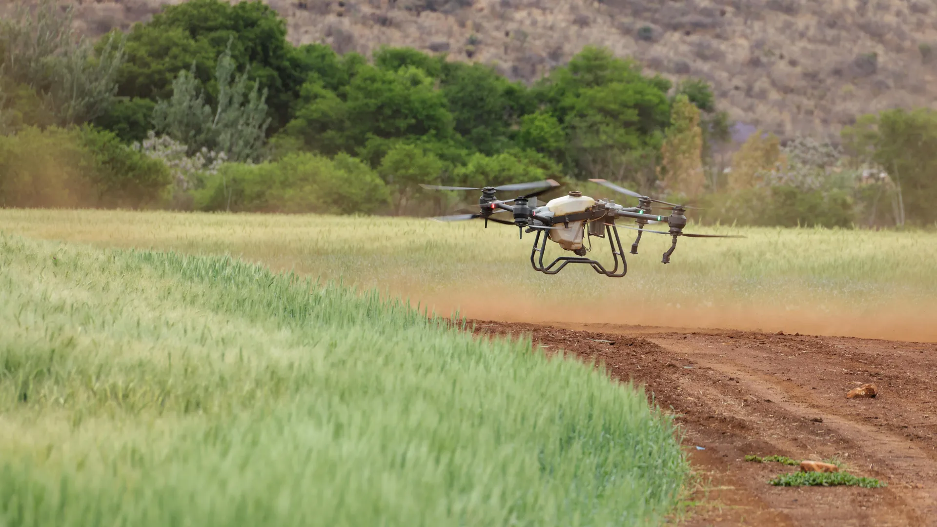
Our Autonomous Field Systems bring plant-by-plant precision to the great outdoors. By combining the rapid, high-altitude perspective of aerial drones with the dexterous, heavy-lifting capabilities of autonomous ground vehicles (UGVs), we create a synchronized, closed-loop farming ecosystem that scales biological oversight across entire continents.
Spectral_Health
96.8%Growth Orchestration
The Gaman Sibyl AI manages every millisecond of the crop lifecycle, from seed germination to harvest-ready spectral peaks.
Phase 01: Topography
Centimeter PrecisionUAV Multi-Spectral Sweep
UAV algorithms analyze surface health, instantly tuning multi-spectral imaging parameters on the fly.
Phase 02: Processing
Zero LatencyData Fusion
Algorithmic networks synthesize field data, instantly calibrating predictive models.
Phase 03: Deployment
Swarm LogicUGV Fleet Dispatch
Coordinated AI evaluates localized crop status, instantaneously adapting swarm intervention protocols.
Phase 04: Validation
Harvest VerifiedClosing the Feedback Loop
Smart tech verifies the successful harvest and logs the final data instantly.
Sky-Eye Hyper-Mapping
Autonomous UAVs scout thousands of acres, identifying micro-variations in chlorophyll fluorescence and moisture pressure using sub-centimeter spectral resolution.
Kinetic Weed Suppression
Precision ground rovers utilize high-energy lasers and focused thermal pulses to eliminate invasive species without chemical runoff or soil disturbance.
Sub-Surface Data Fusion
Integrated soil sensors and GPR mapping are synthesized with aerial topography into a real-time, four-dimensional digital twin of the entire field.
Air-to-Ground Swarms
Multi-agent coordination protocols allow aerial scouts to dynamically task ground units for immediate, localized physical interventions.